HuntStand: GPS Hunting Tools is a sports app and tool developed by TerraStride Inc. This app is specially developed for land management and hunting for the people of North America. With the help of this app, people can access the weather conditions of hunt areas and offline maps. The app comes with hunting mapping and weather tools for its users.
In addition to hunting, mapping, and weather tools, the app also has measurement tools using which you can measure the area and view the distance of any place. Using this app, you can get an up-to-date view with monthly satellite imagery. Furthermore, the app uses more than 100 lines, shapes, and custom icons to fully map your property.
Features
- Used for land management and hunting
- Access weather conditions of hunt areas
- Access offline maps
- Hunting mapping and weather tools
- Measurement tools
- Uses more than 100 lines, shapes, and custom icons
Pros
- Great for predator hunting
- Helpful for marking spots
- Get to know about animal movement
- Manage changes to the property
- Easily share with others
Cons
- Sometimes not integrated with external map sources
- Sometimes app becomes terrible
- Needs lots of work
Similar Apps To HuntStand: GPS Hunting Tools
There are up to 14 HuntStand: GPS Hunting Tools Alternatives for several platforms, including Playstore. It has features like Sports app and Tool. The best alternative to 14-huntstand-gps-hunting-tools-alternatives is GOHUNT: GPS Hunting Map, which is Free. The other best apps like 14-huntstand-gps-hunting-tools-alternatives are HuntWise: A Better Hunting App, MyHunt and GoWild Hunting Fishing Outdoor.
Pricing
HuntStand: GPS Hunting Tools Information
14 HuntStand: GPS Hunting Tools Alternatives
Filter Alternatives
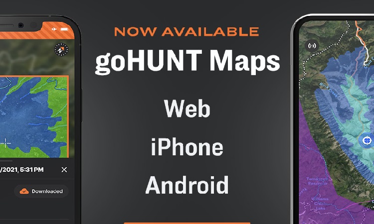
GOHUNT: GPS Hunting Map is a map and navigation app developed by GOHUNT LLC. This app is specially designed for hunters so they can grow their skills. Using this app, hunters can plan, prepare, map, and scout for hunting. All the services provided by this app are led by world-class technologists and expert hunters. From this app, users can get to know about hunt units, districts, private/public land boundaries, and where they can or can’t hunt. On this app, hunters…
GoWild Hunting Fishing Outdoor is a social and sports app developed by GoWild. With the help of this app, outdoor enthusiasts can track activities like heart rate and distance covered. In addition to tracking heart rate and distance covered, you can also track their hunting achievements and memories. The app has a shop smarter feature due to which it offers an e-commerce platform from which you can buy multiple retailers or products. Moreover, this app enables its users to discover…
Advertisement
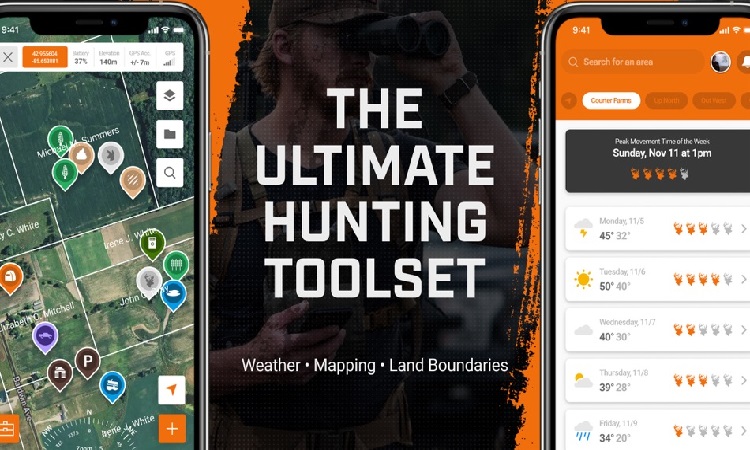
HuntWise: A Better Hunting App is a sports and hunting app developed by Sportsman Tracker. With the help of this app, people can optimize their hunting experience. This app provides its users with expert strategies to enhance hunting effectiveness. The app has a WindCast feature due to which you can track wind direction and speed at all of your pinpoints and tree stands. Moreover, it provides people with notifications and enables them to hit the woods at the best times.…
4MyHunt
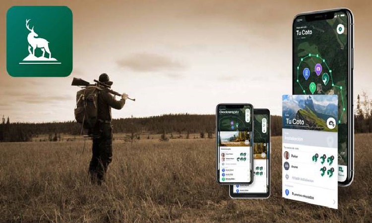
MyHunt is a sports and hunting app developed by Hunter & Companion GmbH. This app is specially developed for hunters to create and manage hunting grounds. On this app, people can save their hunting records and create personal hunting photo albums. Using this app, you can invite your friends to the hunting areas for hunting together. In addition to inviting friends to hunting areas, users can also share their location and share hunting experiences with others. Furthermore, this app highlights…
Advertisement
FOOTPATH ROUTE PLANNER is a measurement application to assist in the exact duration and elevation of your excursion. With the offline topographic maps features, you can design a route that suits your requirements based on turns. You can automatically connect to roads and trails to use its maps. Moreover, through turn-by-turn navigation, this application keeps track record of your fingertips and elevation the sales. It supports the application that allows you to manage the accurately predict routes that correspond to…
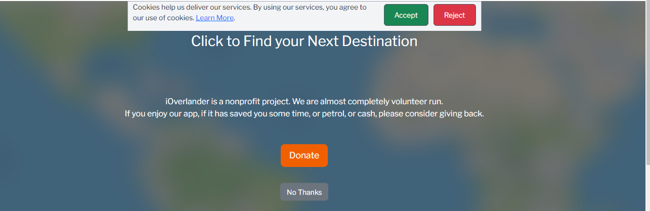
IOVERLANDER is a next-destination charity activity that allowed you to save time, money, or gas and find the information easily. This application offers users to submit, edit, and find information primarily about places to a sizable portion of overlanders. With the database of locations, you can find the amenities, images, to visit, and GPS coordinates. Additionally, you can use a map to explore the area, add new places, record your trip, and share places with friends. Without any internet connectivity,…
Advertisement
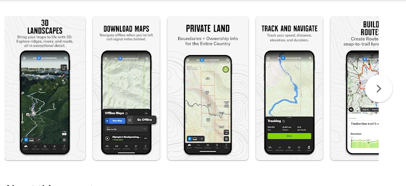
ONX BACKCOUNTRY: 3D TRAIL MAPS is an explorer application that assists you in your adventure. This application provides the facility of direct routes for Backpacking and Ski Tours. The elevation of sharing information with your friends can help you decide on your next expedition. You can use the offline map for saving the maps that are accessible from anywhere. Furthermore, it builds in the absence of a network connection with GPS on your mobile device. By navigating the woodland, you…
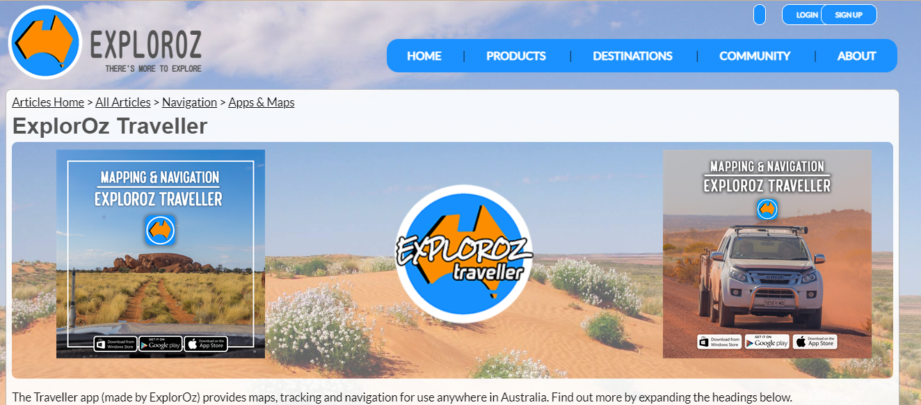
ExplorOz is a travel planner application for the ideal trip across Australia with your best buddy. You will take a road trip, drive off-road, or free camping. It assists you with stunning outback trackers, travel planners, and sophisticated mapping. In addition, also called a one-stop digital travel resource Furthermore, the offline maps assist the level of precision and detail the off-road and off-the-grid. It contains the same degree of information as the online version. The internet browser with interactive places…
Hema 4X4 Explorer is an explorer application to empower visitors and investigate. This application enables users to get the plan, explore, and share the location. The remote camping trip helps to map and navigate with excellent multi-scale topographic mapping. With cutting edge of technology, you can navigate with assurance to GPS monitoring to accurately track data Furthermore, It includes offline mapping and tracking capabilities to allow you to explore safely in outlying places. The GPS tracking systems track the data…
Nowadays, everyone has interested to explore outdoor games at their hoem. This application provides the availability to choose the particular maps to use when offline. You can use the portable GPS. It helps to manage the 50 international and regional sources. In addition, you can locate core determines with the most reliable sources. From a variety of countries, you can help around the world with relevant material to consider. It helps in choosing the mapa when the applications are offline.…
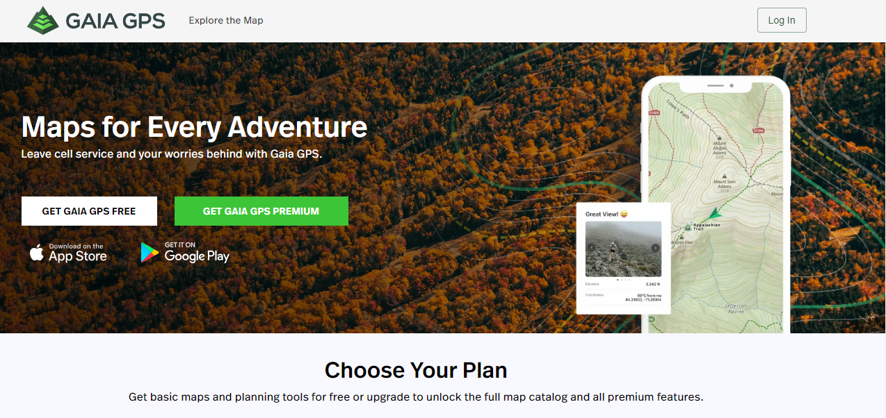
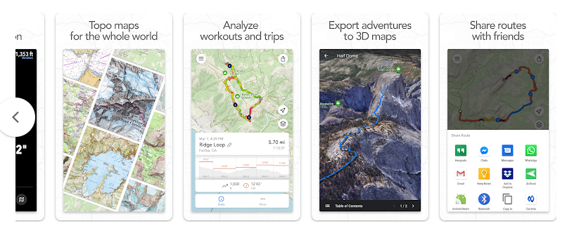
GAIA GPS is an application to allows you to organize your collection and explore with National Geographic trail guides. It is editing between public and private lands by constructing, modifying, and measuring pathways that are advantageous for tranquil camping. In addition, it helps to manage to utilize the snap-to-trail and plot a route over public roads and hiking bicycling trails. Furthermore, this application helps to manage travel to calculate distances. You can a lot of route roads and hiking or…
Jirka Mlavec makes a Locus Maps application that starts the beginning of mapping development, also known as Menion. This application helps the top geocachers, cyclists, and hikers. The outdoor navigation supports the user base with multiple various routing techniques. Furthermore, it helps to manage the routing strategies for several possibilities charts to display over the map. It helps to manage the road condition image possibilities. You can set the settings, values, and charts over the map. You can edit the…
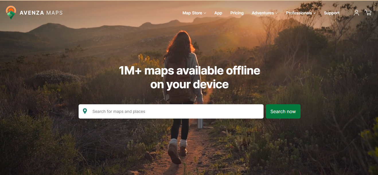
AVENZA Maps is an online mapping tool that allows you to organize your GPS tracks, placemarks, photographs, and distance measurements. This application provides the facility of network connectivity to locate yourself on any map. It is an offline map of the immediate area for your smartphone and loads your own customized maps. Furthermore, the dashboard of the application makes the management for exchanging maps before entering the field. In addition, discover the biking, hiking, and other types of routes to…

onX Offroad is one of the leading platforms offering users to link with companies devoted to outdoor exploration and adventure, offering navigation apps like onX Hunt, onX Offroad, and onX Backcountry. This platform lets its clients get inspirational confidence and provide rich, innovative mapping experiences, empowering adventurers to go further. It can even permit its customers to explore opportunities on public and accessible lands, whether novice explorers or seasoned adventurers. onX Offroad also comes with the collaboration with nonprofit organizations…