
OpenDroneMap deals with the open-source photogrammetry toolkit through which users can efficiently process aerial imagery into 3D models & maps in no time. This platform can let its clients get seamless integration with the portable OpenStreetMap system of the American Red Cross’s in-field without any interruptions.
It can even permit its customers to access the collection, analysis, processing, display, and share aerial-based data to collaborate with the community to create unique industry growth structures. OpenDroneMap also comes with multiple libraries for completing numerous tasks through compatibility of highlights, such as OpenSfM, PDAL, Entwine, GRASS GIS, PoissonRecon, OpenMVS, MVS Texturing, GDAL, and more.
Features
- Command line toolkit
- Drone image processing
- Python SDK
- NodeODM API compatible
- Load balancer & task tracker
- Analyze orthomosaic photos
Similar to OpenDroneMap
There are up to 10 OpenDroneMap Alternatives. The best alternative to 10-opendronemap-alternatives is WebODM, which is Free. The other best apps like 10-opendronemap-alternatives are Scribble Maps, 3DF Zephyr and Trendspek.
Pricing
OpenDroneMap Information
10 OpenDroneMap Alternatives
Filter Alternatives
1WebODM

WebODM is an online platform that can provide its users with a drone mapping program that can help them create point clouds, 3D models, maps, DEM, and more directly from multiple aerial photos in no time. This platform can let its clients get the additional tools for the interaction of georeferenced digital elevation models to see the compatibility of the OBJ format with their 3Dmodels. It can even permit its customers to access the pictures from any camera or local…
2FlytNow

FlytNow deals with the system through which users can obtain facilities regarding the full-fledged DiaB structure directly from the off-the-shelf drone with the help of combining multiple low-cost docking stations without any interruptions. This platform can let its clients get the various tools & services they can embed with system integrators, commercial drone operators, enterprises, and other similar systems. It can even permit its customers to access the expansion of live video feeds while having the 4G/5G network at ultra-low…
Advertisement
3Pix4D
Pix4D is a web-based platform that can provide its users with a drone flight planning program that can help them with the activities related to the optimal modeling & mapping in the 3D system with ease. This platform can let its clients get the facility to control drones directly from smartphones so that they can fly Parrot & multi-copter DJI drones, manage multispectral, Trigger RGB, track thermal sensors, and much more. It can even permit its customers to access accurate…
4DJI TERRA
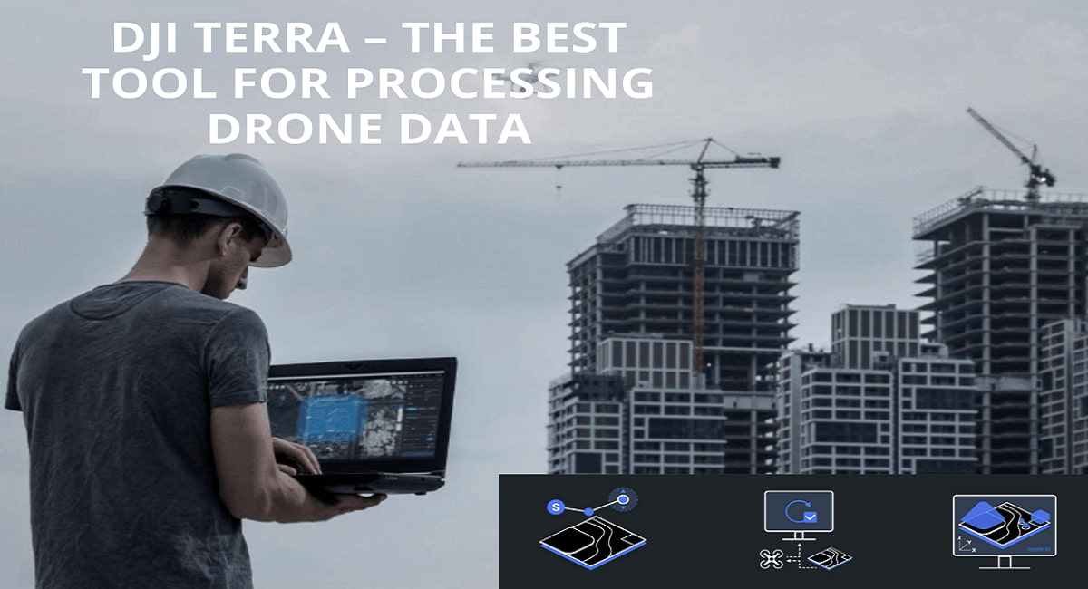
DJI Terra refers to the platform that can offer users reliability related to the activities based on the 2D orthophotos, 3D model reconstruction, and other similar systems in no time. This platform lets its clients get multiple functionalities, including LiDAR point cloud processing, 2D multispectral reconstruction, surveying and mapping, power grid equipment, detailed inspection missions, and more. It can even permit its customers to access comprehensive reconstruction models catering to various interaction fields like land mapping, emergency services, transportation, power…
Advertisement
5Global Mapper

Global Mapper deals with a solution-based platform through which users can avail powerful tools & services for covering almost every requirement related to GIS professionalism across the globe. This platform can let its clients get the next-gen technology that can allow them, novice geospatial workers, to fulfill their critical objectives through a set of spatial data processing tools without any limitations. It can even permit its customers to access the interaction of ROI for each size organization to obtain spatial…
6Trendspek
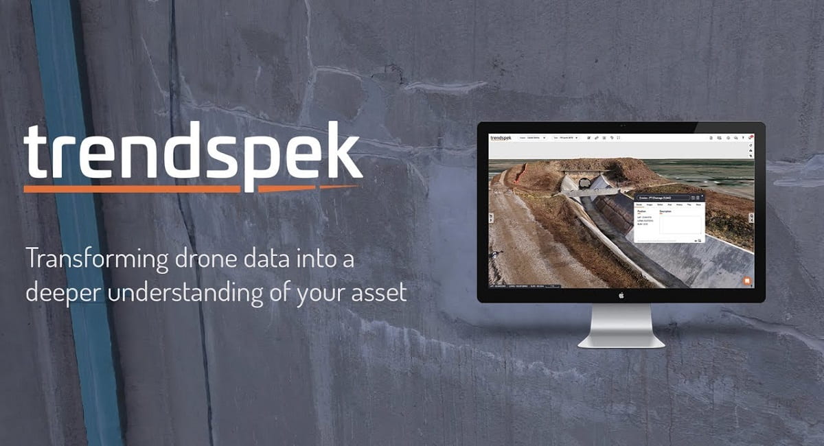
Trendspek is one of the leading programs that can provide its users with true-to-life 3D digital models that can interact with their entire physical modeling assets without any limitations. This platform can let its clients get the facilities they require to manage, describe, share and track information for quickly creating fully-informed decisions based on water-tight data. It can even permit its customers to access the extraction of detail insights with the help of utilizing the structure & analyzation options for…
Advertisement
73DF Zephyr
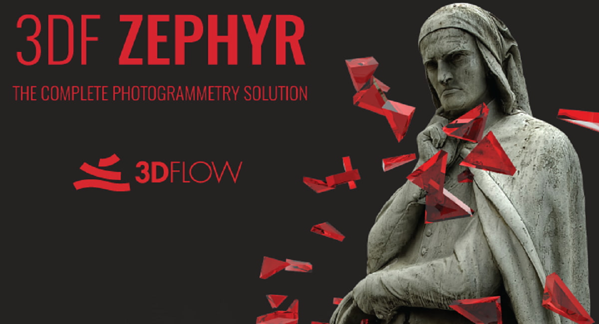
3DF Zephyr is a photogrammetry program that can offer users everything they need to develop 3D models directly from 2D photos without any limitations. This platform can let its clients get facilities related to the design & construction industries so that they can perform each task without needing to enhance hardware capabilities while utilizing simple-to-use tools. It can even permit its customers to access the workflow more effectively with various fields, such as surveyors, 3D modelers, engineers, governments & research…
8Scribble Maps
Scribble Maps is an online marketplace that can provide its users with the advanced functionalities associated with activity requirements for hobbyists, government, military, students, and others with web mapping visualizations. This platform lets its clients get the descriptive maps formation, plot territories, filter & analyze data, optimize routes, etc. It can even permit its customers to access the engagement of each team member and develop a single working file so that they can change marker styles in bulk, highlight map…
9AirCorp Photogrammetry
AirCorp Photogrammetry, provided by iBrain Developers, refers to the digital program that can offer its users the key functionalities associated with the visualization & acquisition of drone-related data. This platform can let its clients get the entire data hosting with the compatibility and integration of multiple formats & systems, such as JPEG, 3D Object, Point-Cloud-Data, PNG, Photogrammetry, Mesh data, and many other formats without any limitations. It can even permit its customers to access the free trial version to check…
10DroneDeploy
DroneDeploy is an online service that lets people see what drones see from the air and the ground. The software helps customers with their operations by documenting and analyzing sites in depth and managing drone fleets. By using the power of visual data to eliminate wasted scheduling hours, users may save time and money. It gives users a competitive edge by giving them a robust digital reconstruction, making the workflow more accessible, and cutting down on the number of steps…