16 LandGlide Alternatives
LandGlide is a popular online platform that provides property line maps to its users in an advanced and comprehensive way. This platform offers a smooth and intuitive interface to access
LandGlide is a popular online platform that provides property line maps to its users in an advanced and comprehensive way. This platform offers a smooth and intuitive interface to access
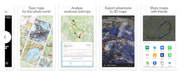
FOOTPATH ROUTE PLANNER is a measurement application to assist in the exact duration and elevation of your excursion. With the offline topographic maps features, you can design a route that
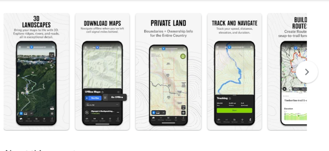
ONX BACKCOUNTRY: 3D TRAIL MAPS is an explorer application that assists you in your adventure. This application provides the facility of direct routes for Backpacking and Ski Tours. The elevation
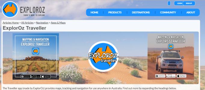
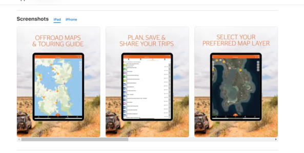
ExplorOz is a travel planner application for the ideal trip across Australia with your best buddy. You will take a road trip, drive off-road, or free camping. It assists you
Hema 4X4 Explorer is an explorer application to empower visitors and investigate. This application enables users to get the plan, explore, and share the location. The remote camping trip helps
Nowadays, everyone has interested to explore outdoor games at their hoem. This application provides the availability to choose the particular maps to use when offline. You can use the portable
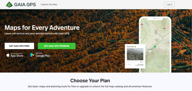
GAIA GPS is an application to allows you to organize your collection and explore with National Geographic trail guides. It is editing between public and private lands by constructing, modifying,
Jirka Mlavec makes a Locus Maps application that starts the beginning of mapping development, also known as Menion. This application helps the top geocachers, cyclists, and hikers. The outdoor navigation
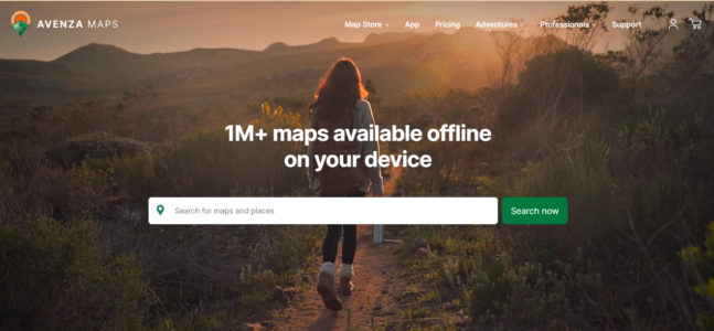
AVENZA Maps is an online mapping tool that allows you to organize your GPS tracks, placemarks, photographs, and distance measurements. This application provides the facility of network connectivity to locate

onX Offroad is one of the leading platforms offering users to link with companies devoted to outdoor exploration and adventure, offering navigation apps like onX Hunt, onX Offroad, and onX
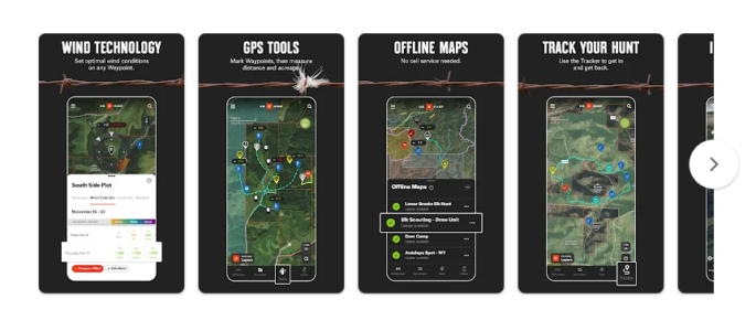
Many people are traveling in the world using GPS Hunting maps. This application provides details about using topo maps. It is the most accurate and dependable GPS satellite. With the
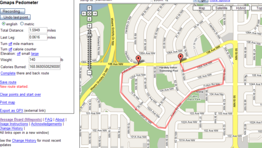
Google’s Gmaps Pedometer is a free service to determine how far a walking or running path is on a map. You can make a custom route by clicking on the
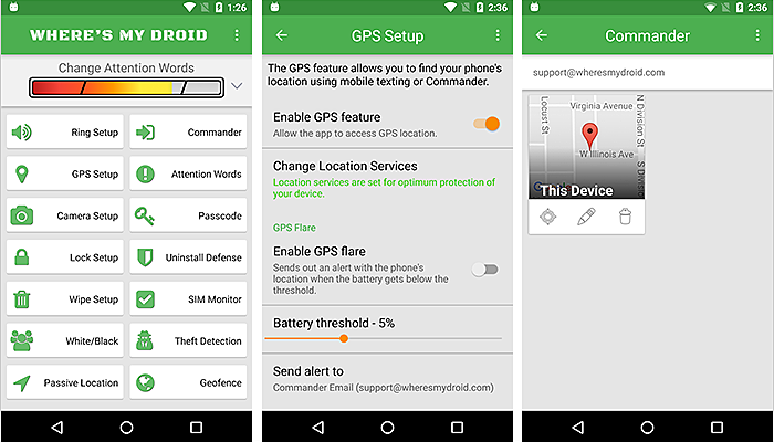
Wheres My Droid is smartphone software that assists in the recovery of missing or stolen Android devices. The software has several tools that can be used to quickly and easily
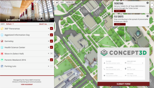
Concept 3D is the process of using computer programs to create a three-dimensional model of a product, building, or idea. This process aims to turn a 2D drawing or sketch

Kuula is a website that makes it easy to make and share interactive 360-degree virtual tours and 3D models. 360-degree photos and videos can be used to create virtual tours
TeliportMe is web and mobile software that lets you make and share 360-degree virtual tours and panoramas. It allows people to use their smartphones or 360-degree cameras to create pictures

Real Tour Vision (RTV) is a website that gives companies in various industries tools for making virtual tours and related services. It has a do-it-yourself and a professional platform with
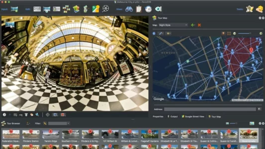
Pano2VR is a program from Garden Gnome Software that lets you create virtual reality experiences, panoramas, and 360-degree films that you can interact with. It enables you to import pictures
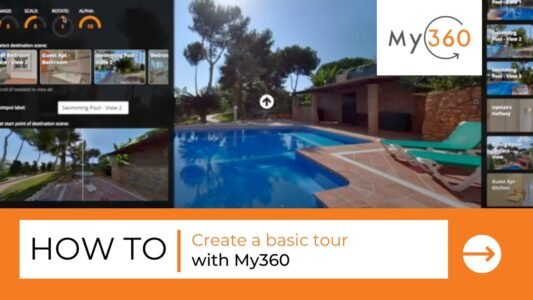
The My360 Virtual Tour platform is software that lets people build and share interactive virtual tours of businesses and homes. The platform has many features and functions that make it
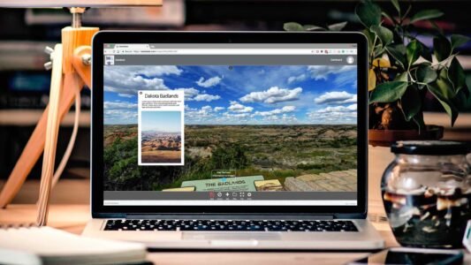
DiveIn Studio can make interactive virtual tours and 360-degree experiences in many fields, such as real estate, tourism, and education. The platform has several tools and features for creating interactive
SeekBeak is a web-based program that lets users make and share immersive virtual tours and 360-degree videos that the user can control. Customers can use the platform to build interactive